
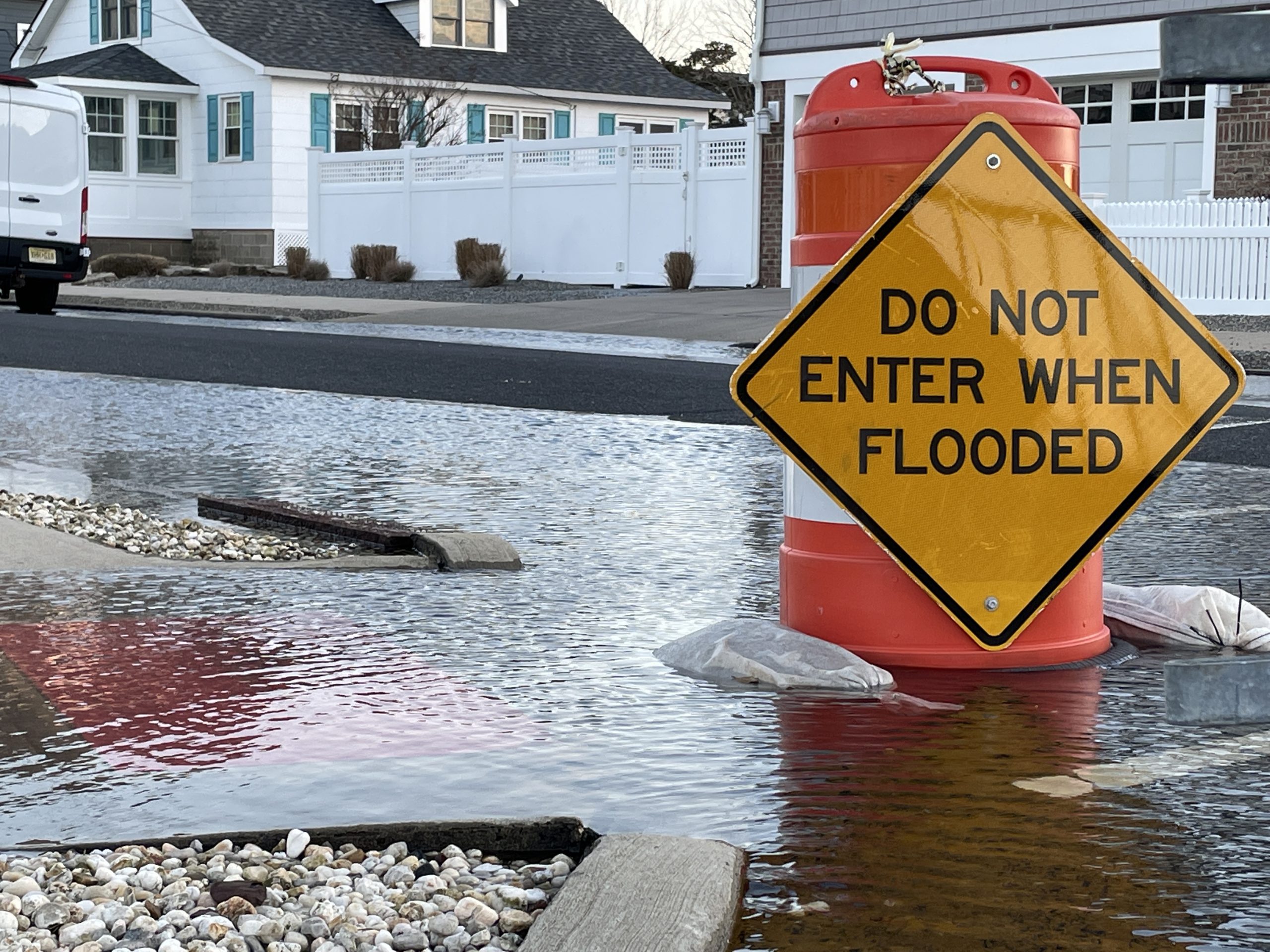
Flooding in the Normandy Beach neighborhood, Jan. 2021. (Photo: Daniel Nee)
As a cold front moves through, breaking the scorching heat of the week, Shore residents should be aware of a coastal flooding risk. The coastal flooding is separate from any rain that may move through the area, and is being driven by the tide cycle.
The National Weather Service has issued a Coastal Flood Advisory from 7 p.m. Thursday to 1 a.m. Friday. Up to 1-foot of inundation above ground level is expected in low-lying areas near shorelines and tidal waterways, the NWS said in a statement. The flooding is being caused by an onshore flow combined with the recent full moon that will “create conditions favorable for higher waters levels,” according to the NWS.
Forecasters are predicting that higher water levels in the back bay will only last for one tide cycle – the PM high tide Thursday night into Friday morning.
|
|
“If travel is required, allow extra time as some roads may be closed,” the statement said. “Some partial or full road closures are possible. Do not drive around barricades or through water of unknown depth. Take the necessary actions to protect flood-prone property.”
High tide in Barnegat Bay at the Mantoloking Bridge will occur at 1:42 p.m. Thursday and 1:57 a.m. early Friday morning. In the upper Metedeconk River (at Forge Pond), high tide will occur at 11:46 p.m. Thursday night, with no AM high tide Friday.




Police, Fire & Courts
Brick Physician and Family Killed in Upstate N.Y. Plane Crash


Police, Fire & Courts
Brick Physician and Family Killed in Upstate N.Y. Plane Crash

Police, Fire & Courts
Brick Father and Son Arrested for Drug, Weapons Offenses


